
Sugar Hill ZIP Coverage
The official Gwinnett County ZIP map dated February 8, 2021 overlays USPS ZIP polygons with municipal borders. It verifies one ZIP inside Sugar Hill. The county also states that USPS owns and maintains ZIP data, so the postal service remains the authority for the ZIP attached to a specific mailing address.
| ZIP | Areas Covered | Post Office | Notes |
|---|---|---|---|
| 30518 | Sugar Hill and Buford-named or unincorporated north Gwinnett postal areas | Buford postal geography; the county map does not name the exact servicing station | Only ZIP verified by the official map inside Sugar Hill; crosses municipal lines |
No official evidence in the research verifies another ZIP serving land inside Sugar Hill. It also found no unique Sugar Hill ZIP, PO-box-only city ZIP, split year, realignment date, or reliable per-ZIP resident total. An unofficial list must not fill those gaps. Verify the complete street address with USPS.
Verify a Sugar Hill ZIP
The USPS ZIP Code Lookup by Address is the first check when a person, letter, old file, or online listing supplies a street address. Enter the address as completely as possible. Record the standardized result rather than copying a ZIP from a commercial listing. USPS answers a mail-routing question, not a city-jurisdiction question.
The official lookup screen shown below is the captured postal source assigned to this ZIP code directory.
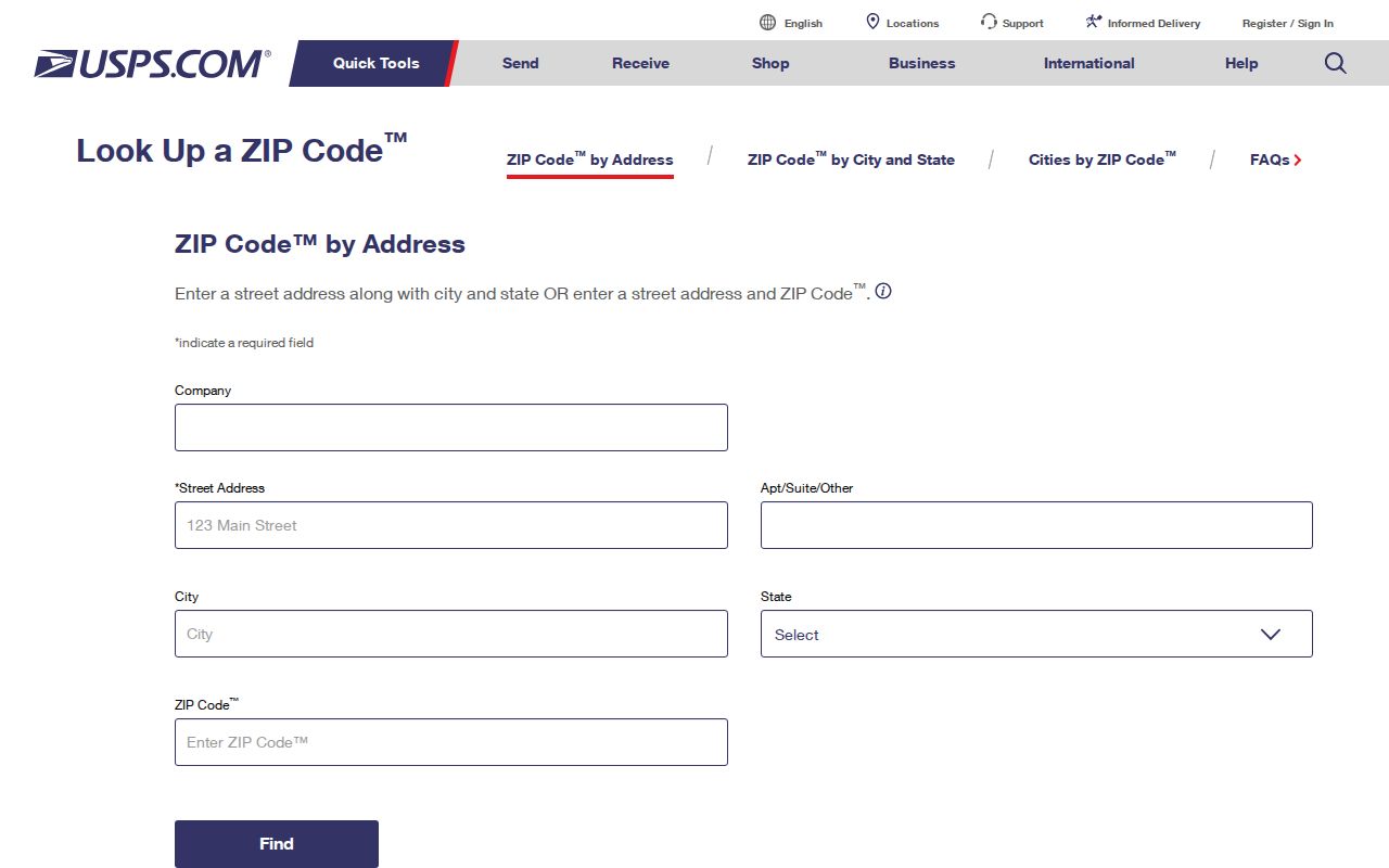
The form confirms where to test an address before moving to county parcel and municipal boundary records.
| Input | Use | Limit |
|---|---|---|
| Street address | Find the standardized delivery address and ZIP | Does not establish incorporation |
| City and state | Help USPS resolve the delivery record | Postal city may differ from government jurisdiction |
| ZIP already known | Check whether the address and ZIP agree | A match still does not prove city limits |
Find Sugar Hill Residents by ZIP
A ZIP narrows the geography, but the documented county tools do not offer a verified one-click resident list for all of 30518. The public GIS stores a ZIP5 field, while its documented search modes focus on an address, parcel, street, owner, subdivision, and assessment neighborhood. The assessor’s exact advanced fields could not be inspected because its qPublic page blocked unattended review. Do not claim a ZIP filter that has not been confirmed.
- Verify the full address and ZIP through USPS, keeping the standardized postal form.
- Open county GIS and search the address, street, parcel, owner, or subdivision.
- Inspect the municipal boundary and tax-district context before assigning city jurisdiction.
- Open the assessor record for current tax-owner and mailing details shown there.
- For a specific voter’s own status, use My Voter Page with the required identity facts.
This path keeps a postal result, a mapped parcel, and a person record in separate lanes. When the work narrows from 30518 to a named road, continue with the Sugar Hill street directory for a street-level process.
Note: A tax owner, a deed party, and a registered voter are not automatically the people who occupy an address today.
Sugar Hill ZIP Search Fields
Gwinnett’s county address and service search accepts a house number, a required street, a city, and an optional ZIP. Wildcards can be placed around street terms. County GIS provides more parcel-focused paths. Its guide documents Main Address, Parcel ID, and Street searches, plus Property Information searches for parcel address, owner, subdivision, zoning case, zoning type, condo PIN, and assessment neighborhood.
| Official tool | Documented field | How it helps |
|---|---|---|
| County address/service search | House number, street, city, optional ZIP | Checks county service geography |
| GIS Main search | Address, parcel ID, street | Locates a mapped parcel or street |
| GIS Property search | Parcel address, owner, subdivision | Connects a postal lead to land records |
| GIS layer data | Full Address and ZIP5 | Records the ZIP attached to mapped address data |
| My Voter Page | First initial, last name, county, date of birth | Checks one voter’s own registration, not a ZIP-wide roster |
The GIS viewer can also create a shareable URL, save a map, and identify features with point, area, line, or buffer tools. Those features help document location, but county guidance says map data is not a survey or title opinion.
Sugar Hill ZIP Versus City Limits
Sugar Hill’s city limits are intermingled with unincorporated Gwinnett pockets. ZIP 30518 also reaches Buford-named and unincorporated postal territory. Therefore, “Sugar Hill, GA 30518” is not proof that the parcel sits inside the municipality. This difference affects which office may hold a permit, zoning case, code file, or municipal-court record.
The scale of the mismatch appears in official local figures. Sugar Hill counted 25,076 municipal residents in 2020, while its gas utility served more than 38,000 people and the broader Sugar Hill identity approached 50,000. Postal and service communities reach beyond the incorporated population. These figures describe different footprints and should not be blended into one ZIP population.
- ZIP code
- A USPS mail-routing area. It is not a city boundary.
- ZIP+4
- Four added digits that narrow delivery to a block, building, or other route segment.
- PO-box ZIP
- A ZIP assigned to post-office-box delivery rather than ordinary street delivery.
- Unique ZIP
- A ZIP assigned to one high-volume organization. None was verified for Sugar Hill.
- Carrier route
- A postal delivery path within a ZIP, not a legal neighborhood line.
Match Sugar Hill ZIPs to Parcels
Once USPS confirms the postal form, open the Gwinnett County assessor page and the county GIS viewer. A parcel record separates the physical location, called the situs address, from the owner’s mailing address. That mailing address is where the tax notice goes. It may be outside Sugar Hill and does not by itself say where the owner lives.
The assessor portal page pictured below is the county’s official entry point for property information.
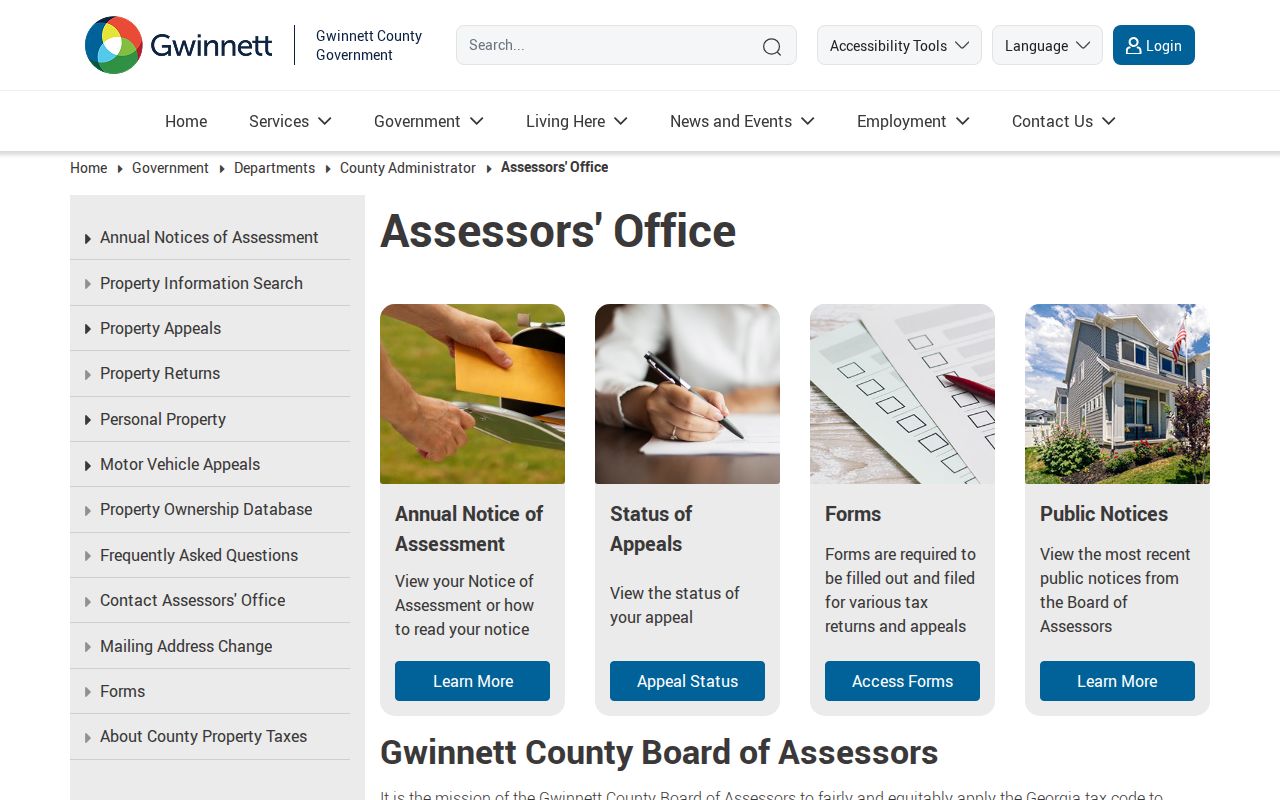
The county source should be used with GIS because tax administration and boundary mapping answer different parts of the location question.
Parcel identifiers survive postal changes better than a typed street label. The county manual gives examples such as “2002 001,” “3003 004B,” and “I002B133,” organized around district, land lot, and parcel. A legal description may instead use subdivision lot and block or metes-and-bounds. These are land references, not alternate ZIP codes.
Sugar Hill’s ZIP Geography
Sugar Hill lies between Buford and Suwanee. State Route 20 crosses its center, and U.S. 23 or Buford Highway follows an edge. The Chattahoochee and nearby Lake Lanier shape the Riverlands side of local geography. City planning material also identifies Neighborhoods, commercial and industrial areas, Riverlands, and the Town Center or Central Business Overlay.
The city’s 2008 comprehensive-plan map distinguishes then-existing city limits from potential-annexation character areas along Buford Highway, Nelson Brogdon, Suwanee Dam, and Highway 20. It documents why a postal corridor can cross several government contexts, but it does not prove that a proposed annexation was later completed. No authoritative annexation-by-year table was found.
Inside Sugar Hill, Planning and Development handles local projects and map questions at 770-945-6734 and GIS@cityofsugarhill.com. County Building Services assigns addresses, street names, and subdivision names through land-development work. Use the city for a confirmed city project and the countywide map to test the boundary first.
Read Sugar Hill Address Labels
Four labels often appear close together, yet they mean different things. A situs address marks the physical mapped property. An owner mailing address routes tax correspondence. A legal description identifies the land in recorded terms. A postal city and ZIP route mail. A good ZIP code directory keeps all four labels intact instead of turning them into one claim about residence.
Georgia My Voter Page also has a narrow role. An individual lookup requires first initial, last name, county, and date of birth. It returns registration status, polling place, precinct or district, and election information. It is not a public 30518 resident browser. Gwinnett Elections says voter history is public, while phone and email are not released.
Safe at Home, effective July 1, 2026, adds another valid reason why a government record may show a substitute address. The program provides protected participants with address substitution, secure mail forwarding, and protected voter registration. A hidden or substituted trail is not a data error to work around.
Old records need one more check. A past ZIP, postal city, or proposed annexation area may reflect the map and mail route used at that time. Preserve the original wording, then compare it with the dated county map, the Gwinnett GIS Data Browser, and the parcel’s legal description. Do not silently rewrite a historical address into today’s format.