
Walk a Sugar Hill Street
A useful Sugar Hill street directory search moves from map evidence to named records. County GIS accepts a street, address, intersection, owner, or parcel. It shows which mapped parcel sits at the location and helps resolve whether the site is within Sugar Hill. The assessor then supplies tax-roll facts. A deed links that parcel to an acquisition, while a permit adds a dated project record. None of these alone identifies every person at the address.
- Search the address or street in the Gwinnett GIS Data Browser. Save the parcel ID, boundary, jurisdiction, and full mapped address.
- Open the linked assessor record. Compare the situs, which is the physical parcel address, with the owner's tax-mailing address.
- Use the current owner and deed reference in GSCCCA. Keep the legal description when moving from one transfer to the next.
- Check Sugar Hill planning files for a dated permit, zoning case, applicant, owner, or contractor tied to the parcel.
- Use My Voter Page only for a known person whose required identity facts are already available. It cannot browse a whole street.
This order guards against a common error: searching a street name before confirming the land. Parcel and legal-description details are stronger links than postal wording. For earlier household work, consult the Sugar Hill directory collections overview, which explains the verified library sources and the limits of the local directory shelf.
Search Sugar Hill Streets in GIS
The Gwinnett GIS parcel viewer is the best address-first tool documented for Sugar Hill. It can find a street and then identify parcels along it. Point, area, line, and buffer tools send selected features to a results panel. Results may be refined, grouped, buffered, or exported. The share control preserves the visible layers and map extent in a URL or QR code, which makes a street search easier to reproduce later.
| GIS mode | Input | Street-directory use |
|---|---|---|
| Main Address | Street address text | Centers one mapped parcel |
| Main Street | Street autocomplete | Browses the named road |
| Property Parcel Address | Location address | Separates situs from mailing data |
| Property Owner | Owner name | Finds parcels linked to one tax owner |
| Identify | Point, area, line, or buffer | Selects adjoining features |
| Results | Refine, group, export | Saves a selected street set |
The county also describes the tool on its GIS information page. The two successful captures below preserve both access points.
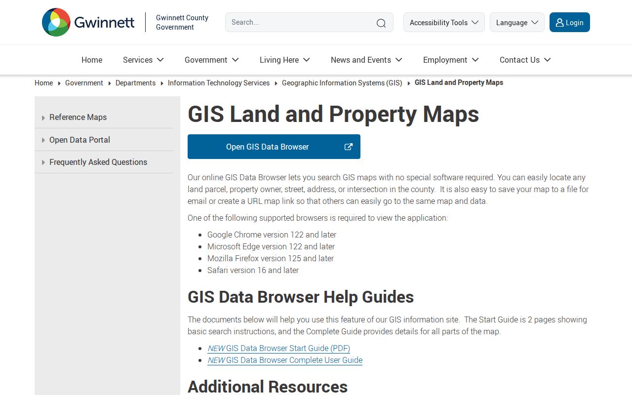
The viewer image shows the official map surface where an address becomes a parcel-based search.
The county's GIS browser information page provides the companion route and documentation.
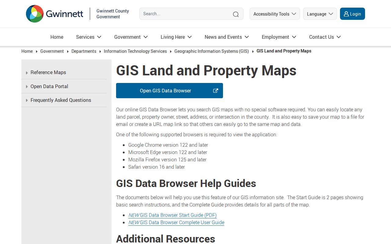
That page is useful when the live map changes or a user needs the current county guide.
Sugar Hill Records by Address
Several custodians contribute to a street directory. Their records answer different questions, so the parcel number should remain the link between them. The county tax roll identifies the assessed owner. GIS shows geometry and mapped context. The clerk holds recorded title documents. Sugar Hill Planning and Development keeps local project evidence. Elections data is more restricted and cannot be treated as an open street roster.
| Address source | Keeper | Evidence | Access route |
|---|---|---|---|
| Tax parcel | Gwinnett Tax Assessor | Owner, situs, mailing, value, displayed exemptions | Free qPublic search or office |
| GIS | Gwinnett County GIS | Parcel shape, address, owner, map layers | Free browser |
| Deed or plat | Superior Court Clerk | Parties, legal description, filing reference | GSCCCA or free office viewing |
| Permit or zoning | Sugar Hill Planning | Project, owner, applicant, contractor, dates | Map or specific records request |
| Voter detail | Georgia SOS and Gwinnett Elections | One matched voter and assigned districts | Identity-gated MVP or lawful request |
The Gwinnett Tax Assessor identifies and appraises taxable property. Its live qPublic labels were not available for unattended inspection, so this street directory does not invent field names or historic depth. Assessor staff can also be reached at 770-822-7200 or PropertyServices@GwinnettCounty.com.
Sugar Hill Address Terms
Address records use terms that look alike but are not interchangeable. A clean Sugar Hill street search labels each field before drawing a conclusion.
- Parcel
- A mapped unit of land with its own county identifier.
- Situs address
- The physical location assigned to the parcel, not the destination for a tax notice.
- Plat
- A recorded drawing that identifies lots, blocks, subdivisions, and dimensions.
- Legal description
- The land identity written into a deed, often by district, land lot, parcel, subdivision lot, or metes and bounds.
- Criss-cross directory
- A directory arranged by street or address rather than by a person's surname. No exact Sugar Hill run has been verified.
A matching situs and mailing address, plus a homestead marker, may support owner occupancy. It still does not prove who was physically present on a certain day. An out-of-area mailing address only shows where the tax notice goes.
Sugar Hill Permits Add Dates
The Sugar Hill Planning and Development page adds municipal evidence to the county parcel chain. Its permit form can record a project or subdivision, lot, block, suite, street, parcel, land lot, district, zoning, contractor, owner, applicant, project type, value, and dimensions. These are facts at the application date, not a continuous roll of occupants.
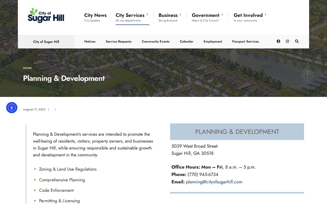
The captured planning page is the source route for a mapped development record or a focused file request.
The city does not publish a verified permit-name or address index. Ask for an existing permit register or a specific file instead of asking staff to create a custom street report. Sugar Hill's Open Records Act route normally calls for a response within three business days. The city states a ten-cent copy charge and gives the first fifteen minutes of search time without labor cost.
Sugar Hill Streets Meet Deeds
A deed index does not truly search by street in the same way GIS does. First find the parcel and current owner. Then open the acquisition deed through the GSCCCA real-estate search. Search fields include county, name, party role, instrument type, date range, and book/page or instrument number. Select Gwinnett County for Sugar Hill land.
The current deed should provide the seller, buyer, recording reference, and legal description. To move backward, search the seller as an earlier buyer and keep checking the same land description. Web access carries a fee, while searching and viewing at the clerk's office is free. Certified copies cost $2.50 for the first page and $1 for each added page; large plats cost $10. The public source does not state the exact earliest online index date.
Deeds and land records are held by the Gwinnett County Clerk of Superior Court at 75 Langley Drive in Lawrenceville. Counter service for deeds and new filings closes at 4:30 p.m. This office route matters when an index image is missing or when certified evidence is needed.
Note: A recorded owner is a title fact, not a complete list of Sugar Hill residents at that address.
Sugar Hill Streets Cross Boundaries
The official Gwinnett map places Sugar Hill in ZIP 30518, but that postal area extends into Buford-named and unincorporated north Gwinnett geography. City limits are also intermingled with unincorporated pockets. A Sugar Hill mailing line therefore does not prove municipal jurisdiction. The difference decides whether a permit or code file belongs to the city or another custodian.
Confirm the parcel in GIS before contacting an office. Gwinnett Building Services handles address, street-name, and subdivision assignments through county land-development work. Inside the municipality, Sugar Hill Planning and Development handles local projects and map questions at 770-945-6734 and GIS@cityofsugarhill.com. Corridor maps along Buford Highway, Nelson Brogdon, Suwanee Dam, and Highway 20 show why boundary checks matter, but they do not prove a later annexation was completed.
Geography check. Postal city, ZIP code, parcel jurisdiction, and neighborhood identity can describe different boundaries around the same Sugar Hill address.
Sugar Hill Voters Are Not Browseable
Georgia My Voter Page verifies one known voter. It requires first initial, last name, Gwinnett County, and date of birth. A match can return registration status, polling place, precinct and district assignments, sample ballot, and election information. It is not a public browse-by-street function.
Gwinnett says voter participation history is public, but phone and email are not released. Participation history shows elections in which a person took part, never how a ballot was marked. A precise request for existing election data goes through the county records channel and remains subject to protected fields and lawful-use rules. Safe at Home, launched July 1, 2026, provides a substitute public-record address and protected registration for approved participants.
Registration may lag a move. Even a valid match is not proof that a person is physically present now. This is one reason a responsible street directory distinguishes registration, ownership, and occupancy.
Sugar Hill Street History After Fire
Gwinnett's courthouse burned in 1871, destroying most early records and deeds. The clerk dates the surviving deed and land-record continuity from September 26, 1871. That date is a real limit for a Sugar Hill street history, not a reason to claim that every older clue vanished.
The Georgia Archives County Records Microfilm Index provides scanned Gwinnett catalog cards. Tax digests, court books, newspapers, church and cemetery material, and later deeds that recite an older transaction may bridge part of the loss. Archives notes that a courthouse disaster does not prove every item disappeared. Its county film is generally sparse after 1900 unless a book began earlier, so modern searches should return to the county offices.
Sugar Hill was not chartered as a town until 1939 and became a city in 1975. Earlier sources may describe the community by a road, land lot, church, nearby Buford, or another local label. Exact street-renaming and renumbering tables were not found, so none should be assumed.
Limits of Sugar Hill Street Records
A Sugar Hill street directory cannot supply a complete household list. Parcel files omit renters and many family members. Private utility and delivery customer data is not a resident roll. Driver address data is protected by federal law, and a public-record request cannot be used to obtain it. Private association and congregation rosters are not public merely because the group has a local address.
No authoritative source verified a local residential reverse-directory run, a Sugar Hill Sanborn-map series, or a street-renumbering chronology. Ask Gwinnett County Public Library reference staff to check its physical catalog for Gwinnett County directories, Buford directories, telephone books, and reverse directories. Claims should stop where the catalog evidence stops.
Lawful use. Use Sugar Hill address records for family history, property research, civic questions, or personal safety. Never use them to stalk, harass, intimidate, or expose a protected address.
Commercial compilation tools may combine stale addresses and same-name people without showing their sources. Official GIS, assessor, clerk, planning, elections, library, and archives records give a clearer trail because each finding can be checked with its custodian.